Author: oliver
Ottawa City uses TRACC to assess benefits of service changes
Categories: Blog
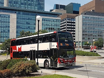
OC Transpo, the municipal transit provider in Ottawa, Canada, is starting to use TRACC to assist with route and level of service planning. It is used by the Operational Planning team, responsible for Network Design, Service Reliability, and Scheduling. TRACC will be used to complement, and validate, existing methods for assessing the customer journey time, impact of transit network changes, […]
TRACC used to create accessibility indices in St Louis (USA)
Categories: Blog
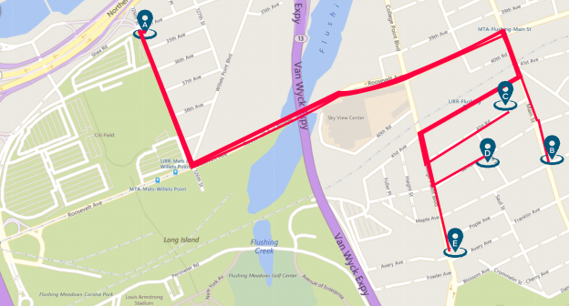
TRACC used to create accessibility indices in St Louis (USA) East-West Gateway Council of Governments (EWG) serves as the Metropolitan Planning Organization (MPO) for St. Louis region which serves almost 3 million residents. Traditionally, an accessibility map would look at travel times between large Traffic Analysis Zones (TAZs). EWG wanted to enhance this type of analysis to see how many […]
TRACC Training Gone Digital
Categories: Blog
TRACC Training Gone Digital I think we can all agree that many things have changed this year as part of the “new normal”. One of the more recent changes that we’ve applied to how we work at Basemap is the way we provide training for our TRACC users. Having led the TRACC training courses over the last few years, […]
The Most Accessible US City? A three city comparison.
Categories: Blog
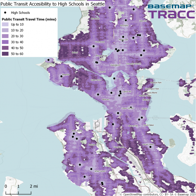
How TRACC works TRACC uses its powerful algorithms to analyze public transit, highway and census data to determine the travel time from many origins to many destinations, to calculate how many people can travel. For example, from house A to house B, as the crow flies would be 1 mile, or a 20-minute walk. When we consider where people […]
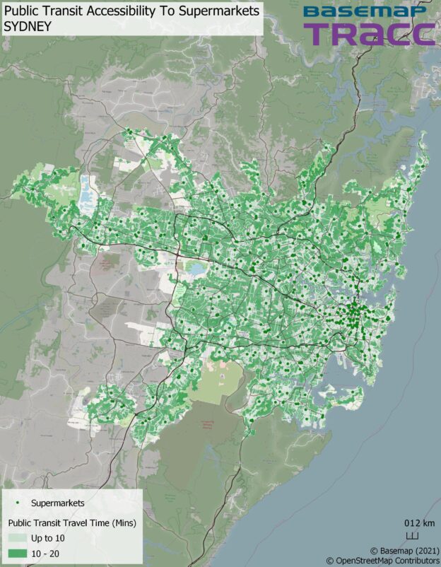
Is Sydney a 20-minute city?
Categories: Blog
We’re taking a look at international cities to find out whether they follow the 20-minute model. For our first stop it’s to Austalia’s Emerald City, Sydney. About the Project Each month we are focusing on a different city and creating 5 accessibility maps based in the UK. To supermarkets, hospitals and GPs, primary schools, secondary schools, […]