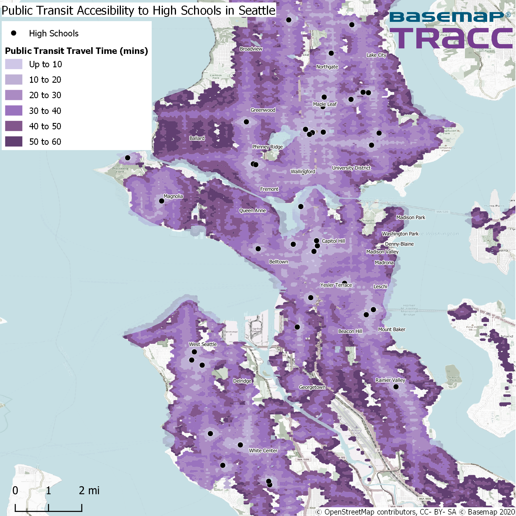
How TRACC works TRACC uses its powerful algorithms to analyze public transit, highway and census data to determine the travel time from many origins to many destinations, to calculate how many people can travel. For example, from house A to house B, as the crow flies would be 1 mile, or a 20-minute walk. When we consider where people […]

Blog
The latest updates, news and stories from TRACC
Is Sydney a 20-minute city?
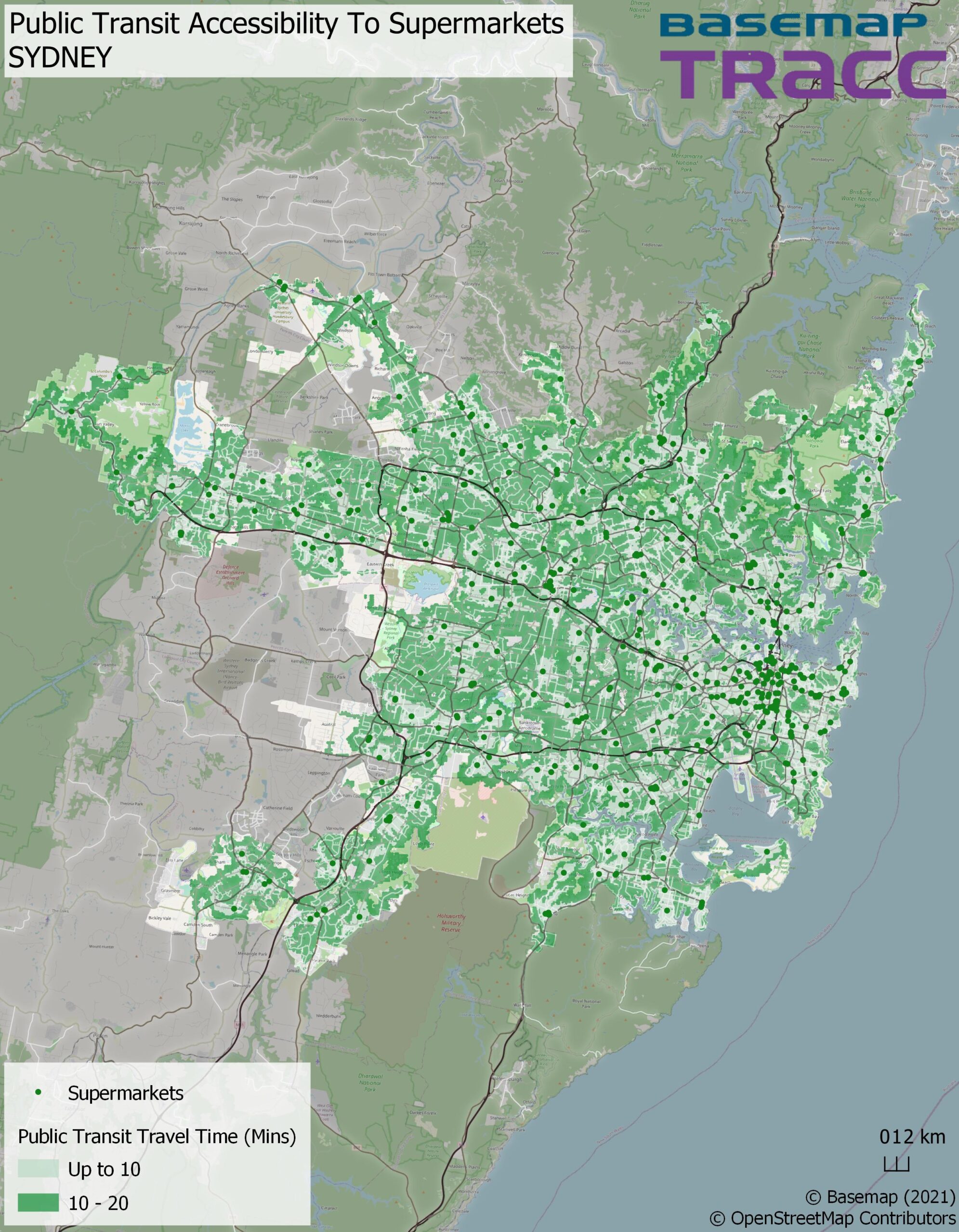
We’re taking a look at international cities to find out whether they follow the 20-minute model. For our first stop it’s to Austalia’s Emerald City, Sydney. About the Project Each month we are focusing on a different city and creating 5 accessibility maps based in the UK. To supermarkets, hospitals and GPs, primary schools, secondary schools, […]
Subscribe to Basemap's Latest News
Latest Tweet
Basemap Link